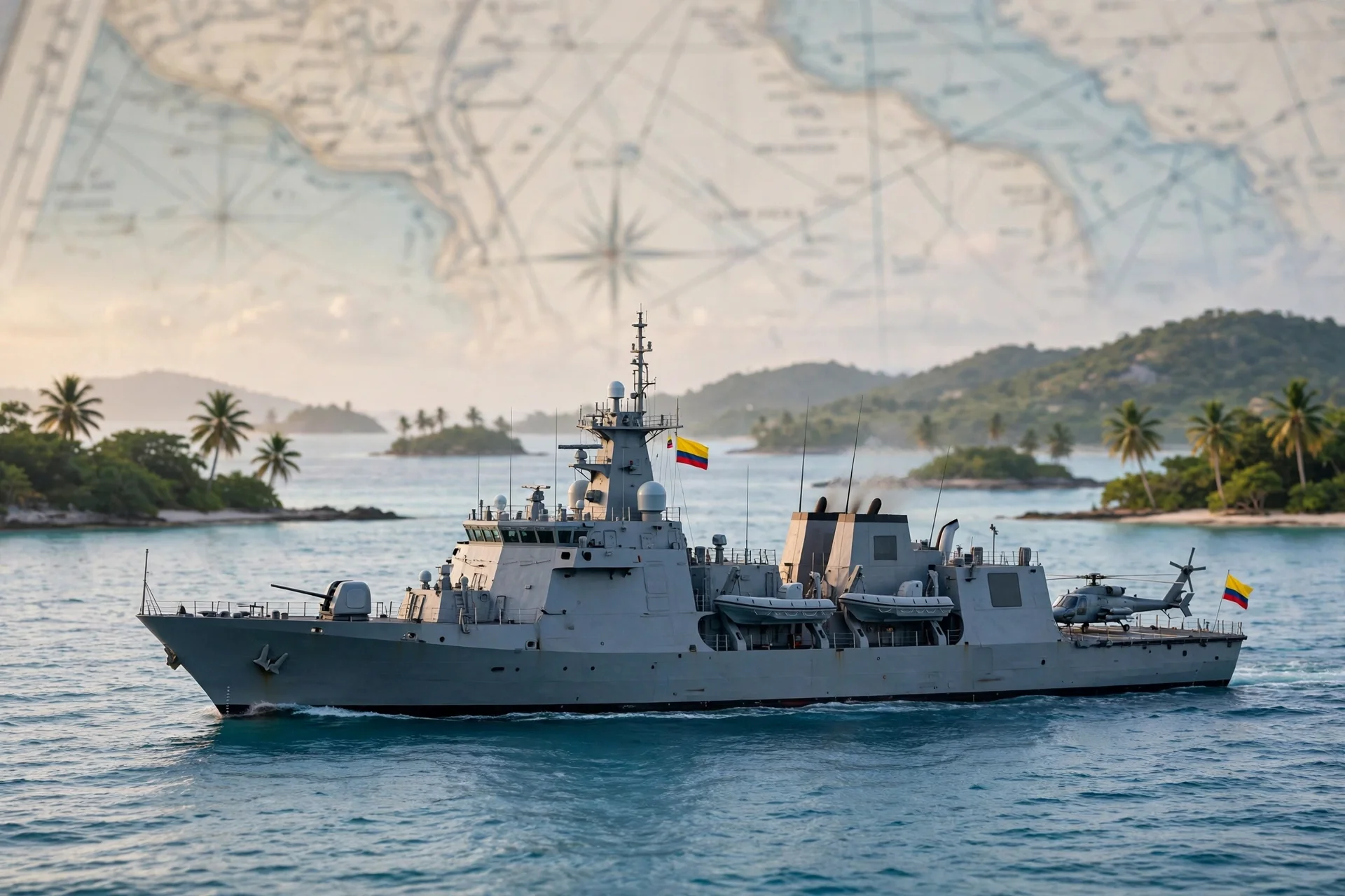
Un buque de la Armada navega junto al archipiélago de San Andrés al amanecer, con una carta náutica desenfocada al fondo. · Imagen generada para EPM
Colombia to set San Andrés maritime baselines by decree for first time
President Abelardo De La Espriella announced that a decree to be published on November 30 will set, for the first time with official coordinates, the maritime…
A single perimeter for San Andrés: what Colombia's baselines change
Colombia is preparing a decree to draw a single perimeter around San Andrés, Providencia and Santa Catalina, covering 12 nautical miles of territorial waters.
--- The context ---
In November 2012, the International Court of Justice confirmed Colombian sovereignty over the islands of San Andrés, Providencia and Santa Catalina, but granted Nicaragua a broad exclusive economic zone in the Caribbean. In July 2023, the same court rejected Managua's bid to extend its continental shelf.
--- The facts ---
Colombia's president, Abelardo De La Espriella, announced on Sunday, October 18, that he will sign a decree establishing, for the first time and with official coordinates, the maritime limits the country considers its own around the archipelago. He did so from a Navy vessel during a visit to the island territory, saying in reported speech that not a single metre of those waters is in dispute. The document will be published on November 30, the island's anniversary, and its references will be incorporated into the official nautical charts.
Law 10 of 1978, approved by Congress with the backing of then president Alfonso López Michelsen, ordered straight baselines to be drawn around the archipelago. The decree will cover the 12 nautical miles of territorial waters, about 22.2 kilometres, around the three islands and the islets and reefs, and the National Navy will carry out the tracing with its technological infrastructure.
--- The positions ---
The approach is known as the Gaviria doctrine, after diplomat and international law scholar Enrique Gaviria Liévano (1939-2020): drawing the limits not island by island, but as a single perimeter joining the outermost points, so the sea inside becomes internal waters and the archipelago is defended as one territory. Interior minister Rodrigo Lara said in reported speech that the 2012 ruling is inapplicable in its literal terms, that this decision should have been taken 48 years ago, and that Colombia arrived at The Hague with its homework poorly done.
--- What remains unknown ---
The exact coordinates of the single perimeter are not yet known, nor is the technical detail of the tracing. It is also unclear how it would apply between San Andrés and the Quitasueño cay, where it would let Colombia claim seas that today belong to Nicaragua.
--- Unanswered questions ---
What exact coordinates will the November 30 decree set for each outermost point of the archipelago? How will the single perimeter apply between San Andrés and the Quitasueño cay without contradicting the 2012 judgment? What response will Nicaragua give to a tracing its government has not yet publicly addressed?
--- EPM analysis ---
De La Espriella paired the announcement with a comprehensive defence policy: strengthening maritime surveillance, fighting illegal activities and protecting the archipelago's fishers.
📌 EPM Take: In EPM's view, setting official coordinates after decades of delay settles a debt pending since 1978 and gives the archipelago's fishers and communities a clearer framework to defend their sea. The step is legitimate as an act of sovereignty, but its real value will depend on how it coexists with the rulings in force and whether it comes with effective presence, reef protection and regional cooperation, not only a new line drawn on the country's official nautical charts.
--- The context ---
Colombia lost close to 75,000 square kilometres of its historic maritime area, around 43% of its Caribbean space, when in November 2012 the International Court of Justice granted Nicaragua sovereign rights over a vast expanse of waters.
--- The facts ---
President Abelardo De La Espriella announced on Sunday, October 18, aboard a Navy vessel and during a visit to the island territory, that he will sign a decree establishing for the first time, with official coordinates, the maritime limits Colombia considers its own around San Andrés, Providencia and Santa Catalina. He said in reported speech that not a single metre of those waters is in dispute. The decree will be published on November 30, on the island's anniversary, and its references will move onto the official nautical charts.
Law 10 of 1978 ordered straight baselines around the archipelago,. The new decree will cover the 12 nautical miles of territorial waters, about 22.2 kilometres, around the three islands and the islets and reefs, and the National Navy will carry out the tracing with its technological infrastructure.
--- The positions ---
The Gaviria doctrine, formulated by Enrique Gaviria Liévano (1939-2020), proposes joining the outermost points in a single perimeter to consolidate a State archipelago. Interior minister Rodrigo Lara said in reported speech that the 2012 ruling is inapplicable in its literal terms and that the decision should have been taken 48 years ago. In the opposite view, Walter Arévalo Ramírez said in reported speech that closing the space the Court granted Nicaragua between San Andrés and Providencia and the northern islands would be a direct contradiction of the 2012 judgment.
--- What remains unknown ---
The definitive coordinates and the full technical timetable are not yet known. The decree itself contemplates no dialogue of any kind with Nicaragua, according to Germán Calderón España, director of the National Agency for the Legal Defence of the State, speaking in reported speech.
--- Unanswered questions ---
Will the November 30 decree publish the complete coordinates of the archipelago's single perimeter? How will the new tracing protect fishers who work in waters currently attributed to Nicaragua? What room does the measure leave for good-faith dialogue without yielding a single nautical mile?
--- EPM analysis ---
The president spoke of good-faith dialogue with Nicaragua over the ruling, but on the premise that Colombian limits are inalienable and not a single nautical mile will be yielded. His administration broke relations with Managua in July 2026 and described the regime of co-presidents Daniel Ortega and Rosario Murillo as a tyranny, in reported speech.
📌 EPM Take: In EPM's view, the decree corrects a historic omission: the law ordering these lines to be drawn has existed since 1978 and the island tracing never entered into force. Defending the archipelago as a single territory, with official coordinates and a Navy presence, affirms a sovereignty that was unanimously confirmed. The challenge will be to sustain that position firmly and prudently, protecting local fishers and without yielding a single nautical mile of what Colombia considers inalienable.
Colombia fijará por decreto las líneas de base marítimas de San Andrés
El presidente Abelardo De La Espriella anunció que el 30 de noviembre se publicará el decreto que fija por primera vez, con coordenadas oficiales, las líneas…
San Andrés tendrá perímetro único: qué cambia con las líneas de base
Colombia prepara un decreto para trazar un perímetro único alrededor de San Andrés, Providencia y Santa Catalina, con 12 millas náuticas de aguas…
--- El contexto ---
En noviembre de 2012, la Corte Internacional de Justicia ratificó la soberanía colombiana sobre las islas de San Andrés, Providencia y Santa Catalina, pero otorgó a Nicaragua una amplia zona económica exclusiva en el Caribe. En julio de 2023, el mismo tribunal rechazó la pretensión de Managua de extender su plataforma continental.
--- Los hechos ---
El presidente de Colombia, Abelardo De La Espriella, anunció el domingo 18 de octubre que firmará un decreto para establecer, por primera vez y con coordenadas oficiales, los límites marítimos que el país considera propios alrededor del archipiélago. Lo hizo desde un buque de la Armada, durante una visita al territorio insular, asegurando en indirecto que sobre esas aguas no existe un solo metro en disputa. El documento se publicará el 30 de noviembre, fecha del aniversario de la isla, y sus referencias se incorporarán a las cartas náuticas oficiales.
La Ley 10 de 1978, aprobada por el Congreso con el respaldo del entonces presidente Alfonso López Michelsen, ordenó trazar líneas de base rectas alrededor del archipiélago. El decreto recogerá las 12 millas náuticas de aguas territoriales, unos 22,2 kilómetros, en torno a las tres islas y a los islotes y arrecifes, y la Armada Nacional ejecutará el trazado con su infraestructura tecnológica.
--- Las posiciones ---
El planteamiento se conoce como doctrina Gaviria, por el diplomático e internacionalista Enrique Gaviria Liévano (1939-2020): no trazar los límites isla por isla, sino como un perímetro único que una los puntos extremos, de modo que el mar interior sea agua interior y el archipiélago se defienda como un solo territorio. El ministro del Interior, Rodrigo Lara, sostuvo en indirecto que el fallo de 2012 es inaplicable en su literalidad, que esta decisión debió adoptarse hace 48 años y que Colombia llegó a La Haya con la tarea mal hecha.
--- Lo que falta saber ---
Aún no se conocen las coordenadas exactas del perímetro único ni el detalle técnico del trazado. Tampoco está claro cómo se aplicará entre San Andrés y el cayo de Quitasueño, donde permitiría reclamar mares que hoy pertenecen a Nicaragua.
--- Preguntas sin respuesta ---
¿Qué coordenadas exactas fijará el decreto del 30 de noviembre para cada punto extremo del archipiélago? ¿Cómo se aplicará el perímetro único entre San Andrés y el cayo de Quitasueño sin contradecir la sentencia de 2012? ¿Qué respuesta dará Nicaragua ante un trazado que su Gobierno aún no ha comentado públicamente?
--- Análisis EPM ---
De La Espriella acompañó el anuncio con una política de defensa integral: reforzar la vigilancia marítima, combatir actividades ilegales y proteger a los pescadores.
📌 Conclusion EPM: A juicio de EPM, fijar coordenadas oficiales tras décadas de espera ordena una deuda pendiente desde 1978 y da a los pescadores y a las comunidades del archipiélago un marco más claro para defender su mar. El paso es legítimo como acto de soberanía, pero su valor real dependerá de cómo conviva con los fallos vigentes y de si se acompaña de presencia efectiva, protección de arrecifes y colaboración regional, no solo de un trazado nuevo sobre las cartas náuticas oficiales del país.
--- El contexto ---
Colombia perdió cerca de 75.000 kilómetros cuadrados de su área marítima histórica, en torno al 43% de su espacio en el Caribe, cuando en noviembre de 2012 la Corte Internacional de Justicia dio a Nicaragua derechos soberanos sobre una vasta extensión de aguas.
--- Los hechos ---
El presidente Abelardo De La Espriella anunció el domingo 18 de octubre, desde un buque de la Armada y durante una visita al territorio insular, que firmará un decreto para establecer por primera vez, con coordenadas oficiales, los límites marítimos que Colombia considera propios alrededor de San Andrés, Providencia y Santa Catalina. Aseguró en indirecto que sobre esas aguas no existe un solo metro en disputa. El decreto se publicará el 30 de noviembre, en el aniversario de la isla, y sus referencias pasarán a las cartas náuticas oficiales.
La Ley 10 de 1978 ordenó trazar líneas de base rectas alrededor del archipiélago,. El nuevo decreto recogerá las 12 millas náuticas de aguas territoriales, unos 22,2 kilómetros, en torno a las tres islas y a los islotes y arrecifes, y la Armada Nacional ejecutará el trazado con su infraestructura tecnológica.
--- Las posiciones ---
La doctrina Gaviria, formulada por Enrique Gaviria Liévano (1939-2020), plantea unir los puntos extremos en un perímetro único para consolidar un archipiélago de Estado. El ministro del Interior, Rodrigo Lara, afirmó en indirecto que el fallo de 2012 es inaplicable en su literalidad y que la decisión debió adoptarse hace 48 años. En sentido contrario, Walter Arévalo Ramírez sostuvo en indirecto que cerrar el espacio que la Corte otorgó a Nicaragua entre San Andrés y Providencia y las islas del norte sería una contradicción directa con la sentencia de 2012.
--- Lo que falta saber ---
No se conocen las coordenadas definitivas ni el calendario técnico completo. El propio decreto no contempla ningún tipo de diálogo con Nicaragua, según explicó en indirecto Germán Calderón España, director de la Agencia Nacional de Defensa Jurídica del Estado.
--- Preguntas sin respuesta ---
¿Publicará el decreto del 30 de noviembre las coordenadas completas del perímetro único del archipiélago? ¿Cómo protegerá el nuevo trazado a los pescadores que faenan en aguas hoy atribuidas a Nicaragua? ¿Qué margen deja la medida para un diálogo de buena fe sin ceder ni una milla náutica?
--- Análisis EPM ---
El presidente habló de un diálogo de buena fe con Nicaragua sobre el fallo, pero con la premisa de que los límites colombianos son inalienables y no se cederá ni una milla náutica. Su administración rompió relaciones con Managua en julio de 2026 y calificó de tiranía, en indirecto, al régimen de los copresidentes Daniel Ortega y Rosario Murillo.
📌 Conclusion EPM: A juicio de EPM, el decreto corrige una omisión histórica: la ley que ordenaba trazar estas líneas existe desde 1978 y el trazado insular nunca entró en vigencia. Defender el archipiélago como un solo territorio, con coordenadas oficiales y presencia de la Armada, afirma una soberanía ratificada de forma unánime. El desafío será sostener esa posición con firmeza y prudencia, protegiendo a los pescadores y sin ceder ni una milla náutica de lo que Colombia considera inalienable.