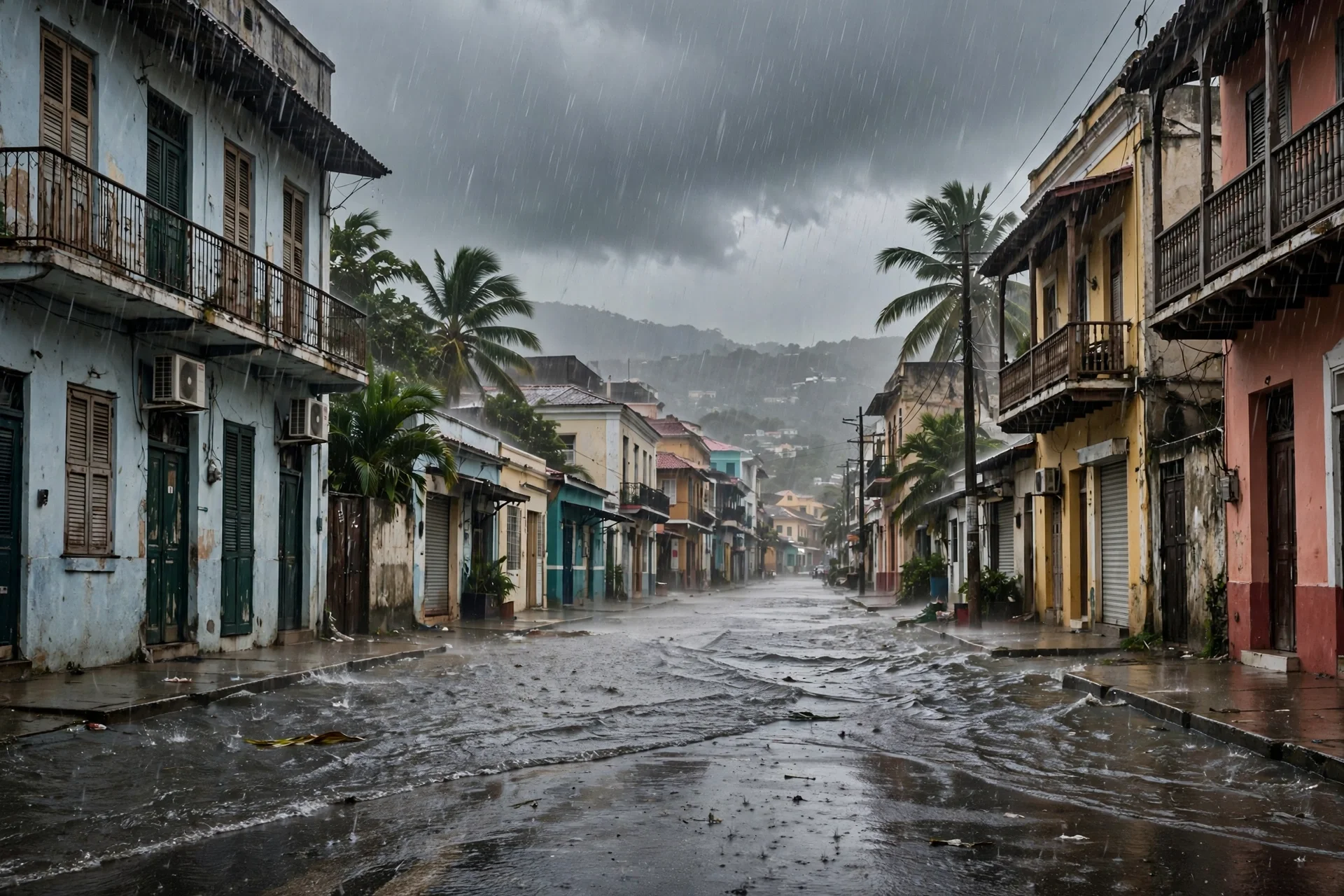
Imagen alusiva a las lluvias intensas previstas en República Dominicana. · Imagen generada por EPM
Rainfall over 200 millimeters threatens Dominican Republic
Dominican meteorologists forecast rainfall totals above 200 millimeters through Saturday from a moisture stream and a trough, with alerts expanded to 21…
Dominican Republic activates plan for heavy rainfall
Dominican authorities activated the contingency plan and expanded alerts to 21 provinces and the National District ahead of rainfall that could exceed 200…
--- The context ---
The Dominican Republic is bracing for several days of heavy rain driven by a stream of moisture and a trough moving over the national territory. The episode arrives when some provinces already carry significant rainfall totals, a background that raises the risk for communities vulnerable to flooding.
--- The facts ---
The Dominican Institute of Meteorology warned on Wednesday that the expected rainfall could leave totals above 200 millimeters through Saturday. Its director, Gloria Ceballos, told a press conference alongside relief agencies that the American and European models agree in projecting significant precipitation starting early on Thursday morning across the national territory.
The official explained that the rain will fall gradually and that the estimated totals cover the period through Saturday. According to the authorities, the highest totals could occur in the southwestern region, while rainfall in Greater Santo Domingo could exceed 100 millimeters. Ceballos also warned that some provinces have already received significant rain, with important totals already recorded.
--- The positions ---
In response to the forecast, the Emergency Operations Center activated its contingency plan in coordination with the Ministry of Defense, the Red Cross and other relief agencies, and expanded weather alerts to 21 provinces and the National District. Its director, Edwin Olivares, asked citizens to stay alert wherever warnings are in place and explained that on Wednesday morning he met with several mayors to coordinate preventive actions. Deputy director José Luis Germán reported that the agency declared itself in permanent session.
--- What remains unknown ---
The available information does not provide forecast totals for each province under alert beyond the southwest and Greater Santo Domingo, nor does it specify how the weather will evolve after Saturday. No damage linked to this episode has been reported so far.
--- Unanswered questions ---
Will communities vulnerable to flooding receive preventive support before the heaviest rain arrives on Thursday? What concrete measures did the mayors meeting with the emergency agency agree on to protect those communities this week? Will the alerts be expanded to more provinces if rainfall totals through Saturday exceed the current forecast for the country?
--- EPM analysis ---
Agreement between two international models and the early activation of the contingency plan leave room to prepare, but the heaviest factor is social: provinces that have already been receiving rain start with saturated ground. Prevention will arrive on time only if official bulletins turn into visible action in every community identified as vulnerable to flooding during this episode.
📌 EPM Take: In EPM's view, this forecast deserves to be taken seriously without unnecessary alarm, because it combines three clear signals, totals above 200 millimeters, prior rainfall in several provinces and an alert network that already covers 21 provinces and the National District. The institutional response began with coordination and a permanent session, and prevention in flood-prone communities will now make the difference. Following official bulletins and acting before early Thursday is the most sensible step for every Dominican family this week.
--- The context ---
Order and prevention are being tested again in the Dominican Republic as heavy rainfall linked to a stream of moisture and a trough approaches the country. With several provinces already carrying significant rainfall totals, the authorities activated response mechanisms in advance.
--- The facts ---
The Dominican Institute of Meteorology warned on Wednesday that expected rainfall could exceed 200 millimeters through Saturday. The agency director, Gloria Ceballos, told a press conference with relief agencies that the American and European models agree in forecasting significant precipitation beginning early on Thursday morning, driven by the moisture stream and the trough over the country.
According to the official, the rain will arrive gradually and the estimated totals run through Saturday. The highest totals are expected in the southwestern region, while Greater Santo Domingo could see more than 100 millimeters. Ceballos noted that some provinces have already received significant rainfall, leaving important accumulated totals that must be taken into account before the new episode.
--- The positions ---
The Emergency Operations Center activated its contingency plan together with the Ministry of Defense, the Red Cross and other relief agencies, expanded alerts to 21 provinces and the National District and declared itself in permanent session, according to deputy director José Luis Germán. Director Edwin Olivares urged caution wherever alerts are in place and said he coordinated preventive actions on Wednesday morning with several mayors in the most vulnerable communities.
--- What remains unknown ---
Detailed forecast totals for each province under alert are not yet known beyond the references to the southwest and Greater Santo Domingo, and the outlook after Saturday has not been specified. The authorities have not reported damage linked to this episode, and any development will need confirmation in successive official bulletins.
--- Unanswered questions ---
Are the mayoralties in the areas under alert ready to carry out the coordinated preventive actions this week? How will order and safety be guaranteed in vulnerable communities during the days of heavy rain ahead? Will the emergency agency maintain its permanent session until rainfall totals ease after Saturday across the affected provinces of the country?
--- EPM analysis ---
This episode shows the value of reacting before the water rises: a forecast backed by two agreeing models, broad alerts and prior coordination with mayors. Citizen discipline will be just as decisive, because no institution can replace the prudence of each household that heeds the alerts and avoids exposure in flood-prone areas during the announced period of rain.
📌 EPM Take: In EPM's view, the right response to this forecast is calm firmness, institutions activated on time, clear alerts across 21 provinces and the National District and citizens doing their part by following official bulletins. With totals that could exceed 200 millimeters through Saturday and provinces already soaked, improvisation would be the worst enemy. Coordination among defense, relief agencies and mayoralties offers a solid base, and the prudence of each family will complete the work during these days of intense rain nationwide.
Lluvias sobre 200 milímetros amenazan a República Dominicana
El instituto meteorológico dominicano prevé acumulados superiores a los 200 milímetros hasta el sábado por una corriente de humedad y una vaguada, con alertas…
República Dominicana activa plan ante lluvias intensas
Las autoridades dominicanas activaron el plan de contingencia y ampliaron las alertas a 21 provincias y el Distrito Nacional ante lluvias que podrían superar…
--- El contexto ---
República Dominicana se prepara para varios días de lluvias intensas provocadas por una corriente de humedad y una vaguada que incidirán sobre el territorio nacional. El episodio llega cuando algunas provincias ya registran acumulados importantes, un antecedente que eleva el riesgo para las comunidades vulnerables a inundaciones.
--- Los hechos ---
El Instituto Dominicano de Meteorología advirtió este miércoles que las lluvias previstas podrían dejar acumulados superiores a los 200 milímetros hasta el sábado. Su directora, Gloria Ceballos, explicó en rueda de prensa junto a organismos de socorro que los modelos estadounidense y europeo coinciden en proyectar precipitaciones significativas desde la madrugada de este jueves.
La funcionaria precisó que las lluvias serán paulatinas y que los acumulados corresponden al período hasta el sábado. Según las autoridades, los mayores registros podrían darse en la región suroeste, mientras que en el Gran Santo Domingo las precipitaciones podrían superar los 100 milímetros. Ceballos advirtió además que ya hay provincias con acumulados importantes por lluvias anteriores.
--- Las posiciones ---
Ante el pronóstico, el Centro de Operaciones de Emergencias activó su plan de contingencia en coordinación con el Ministerio de Defensa, la Cruz Roja y otros organismos de socorro, y amplió las alertas a 21 provincias y el Distrito Nacional. Su director, Edwin Olivares, pidió a la ciudadanía mantenerse atenta donde haya alerta y explicó que el miércoles por la mañana se reunió con distintos alcaldes para coordinar acciones preventivas. El subdirector, José Luis Germán, informó que el organismo se declaró en sesión permanente.
--- Lo que falta saber ---
La información disponible no detalla acumulados previstos provincia por provincia más allá del suroeste y del Gran Santo Domingo, ni precisa cómo evolucionará el tiempo después del sábado. Tampoco se ha informado de daños asociados a este episodio.
--- Preguntas sin respuesta ---
¿Recibirán las comunidades vulnerables a inundaciones apoyo preventivo antes de que lleguen las lluvias más fuertes? ¿Qué medidas concretas acordaron los alcaldes reunidos con el organismo de emergencias para proteger a esas comunidades? ¿Se ampliarán las alertas a más provincias si los acumulados superan lo previsto hasta el sábado?
--- Análisis EPM ---
La coincidencia de dos modelos internacionales y la activación temprana del plan de contingencia dan margen para prepararse, pero el dato que más pesa es social: las provincias que ya vienen recibiendo lluvias parten con el suelo cargado de agua. La prevención llegará a tiempo solo si los boletines se traducen en acciones visibles en cada comunidad señalada.
📌 Conclusion EPM: A juicio de EPM, el pronóstico merece tomarse en serio sin dramatismos innecesarios, porque combina tres señales claras, acumulados superiores a los 200 milímetros, lluvias previas en varias provincias y una red de alertas que ya cubre 21 provincias y el Distrito Nacional. La respuesta institucional arrancó con coordinación y sesión permanente, y ahora la diferencia la marcará la prevención en las comunidades vulnerables a inundaciones. Seguir los boletines oficiales y actuar antes de la madrugada del jueves es la medida más sensata para cada familia dominicana.
--- El contexto ---
El orden y la prevención vuelven a ponerse a prueba en República Dominicana ante un episodio de lluvias intensas asociado a una corriente de humedad y una vaguada. Con provincias que ya acumulan lluvias importantes, las autoridades activaron con anticipación los mecanismos de respuesta.
--- Los hechos ---
El Instituto Dominicano de Meteorología advirtió este miércoles que las precipitaciones previstas podrían superar los 200 milímetros hasta el sábado. La directora del organismo, Gloria Ceballos, señaló en rueda de prensa con los organismos de socorro que los modelos estadounidense y europeo coinciden en anticipar lluvias significativas a partir de la madrugada de este jueves.
De acuerdo con lo explicado por la funcionaria, las lluvias se producirán de manera gradual y los acumulados estimados llegan hasta el sábado. Los mayores registros se esperan en la región suroeste, y en el Gran Santo Domingo podrían superarse los 100 milímetros. Ceballos recordó que algunas provincias ya recibieron lluvias importantes, con acumulados que deben tomarse en cuenta.
--- Las posiciones ---
El Centro de Operaciones de Emergencias activó su plan de contingencia junto al Ministerio de Defensa, la Cruz Roja y otros organismos de socorro, amplió las alertas a 21 provincias y el Distrito Nacional y se declaró en sesión permanente, según informó su subdirector, José Luis Germán. El director, Edwin Olivares, pidió precaución donde haya alerta y detalló que el miércoles por la mañana coordinó acciones preventivas con distintos alcaldes en las comunidades más vulnerables.
--- Lo que falta saber ---
Todavía no se conocen acumulados detallados para cada provincia bajo alerta, más allá de las referencias al suroeste y al Gran Santo Domingo, ni se ha precisado el escenario posterior al sábado. Las autoridades no han reportado daños vinculados a este episodio, y cualquier novedad deberá confirmarse en los boletines oficiales sucesivos.
--- Preguntas sin respuesta ---
¿Están listas las alcaldías de las zonas bajo alerta para ejecutar las acciones preventivas coordinadas? ¿Cómo se garantizará el orden y la seguridad en las comunidades vulnerables durante los días de lluvia? ¿Mantendrá el organismo de emergencias la sesión permanente hasta que bajen los acumulados el sábado?
--- Análisis EPM ---
El episodio muestra el valor de reaccionar antes de que el agua suba: pronóstico coincidente en dos modelos, alertas amplias y coordinación previa con los alcaldes. La disciplina ciudadana será igualmente decisiva, porque ninguna institución sustituye la prudencia de cada hogar que atiende las alertas y evita exponerse en zonas inundables durante el período anunciado.
📌 Conclusion EPM: A juicio de EPM, la respuesta correcta ante este pronóstico es la firmeza serena, instituciones activadas a tiempo, alertas claras en 21 provincias y el Distrito Nacional y ciudadanos que cumplen su parte siguiendo los boletines. Con acumulados que podrían superar los 200 milímetros hasta el sábado y provincias que ya vienen mojadas, la improvisación sería el peor enemigo. La coordinación entre defensa, socorro y alcaldías ofrece una base sólida, y la prudencia de cada familia completará el trabajo durante estos días de lluvia intensa en el país.